Events And Attractions Attractions Mossy Point - Holiday Gold Coast

EVENTS AND ATTRACTIONS MOSSY POINT

Mogo Zoo Logo and Images

Mogo Zoo

222 Tomakin Road, Mogo NSW 2536

Mogo zoo is an organisation that is committed to the survival of endangered animals and provide world standard facilities for over 200 animals of more than 39 rare and exotic species.Mogo zoo offers disability access, parking and restroom baby changing facilites.

Mogo Zoo is a tourism asset for the south coast. They attract visitors to the area, specifically to visit the zoo and media interest in their achievements continues to increase.

Ken Taber Art Studio and Open Garden Logo and Images

Ken Taber Art Studio and Open Garden

123 Maulbrooks Road, Mogo NSW 2536

Ken Taber is a self-taught artist who paints in both acrylics and oils. His preferred subjects are usually water scenes, misty swamps, tidal backwaters, beach scenes and his later work, semi-abstract acrylics of water birds in their environment. Ken has now been painting since 1968 and has had many one man and joint exhibitions. His paintings are hung in collections around the world. He now resides on the New South Wales south coast near Batemans Bay. His house and studio gallery is situated on a five acre block amidst a beautiful sub-tropical water garden. The gallery is open by appointment. Please contact them to arrange a time.

The Original Gold Rush Colony Logo and Images

The Original Gold Rush Colony

Annett Street, Corner of James Street, Mogo NSW 2536

The Colony (formerly Old Mogo Town) is a re-created 1850s gold rush town and theme park. This award-winning New South Wales South Coast tourism attraction is an educational, historical and cultural venue. Informative tour guides retrace the story of life during the 1850s Gold Rush, including the adventures of Australia's 'bloodiest' bushrangers, the Clarke Gang. See the working Stamp Battery, explore the Gold Mine, mining town buildings, and pan for your own real gold! Assisted wheelchair access to most exhibits. Picnic areas beside peaceful lakes and gardens. Mogo Maze, 'Olga' the Mini Train and Mini Golf are fun for everyone. School and group excursions are a speciality, with a range of activities to stimulate and educate through participation, known as 'Hands on History'. On-site accommodation, full catering and functions available. They are on 14 acres, surrounded by Mogo State Forest.

Malua Bay Bowling and Recreation Club Logo and Images

Malua Bay Bowling and Recreation Club

Sylvan Street, Malua Bay NSW 2536

If you're looking for a relaxed environment and a place to meet friendly people you'll find what you are looking for at Malua Bay. The Malua Bay Bowling and Recreation Club has two greens, TAB/Keno, pool tables, SKY channels and automatic teller machine. Join the club for a friendly game of bowls Thursday through Sunday on some of the best greens on the South Coast. If bowls is not your game, the Malua Bay Fishing Club is there for your enjoyment with its regular competition and social activities. You can also enjoy one of the most successful restaurants in the area. Raymonds at Malua Bay specialises in Chinese cuisine but also serves Australian meals and is open six days a week. Visitors welcome.

Horse Riding at Oaks Ranch and Country Club Logo and Images

Horse Riding at Oaks Ranch and Country Club

238 Old Mossy Point Road, Mossy Point NSW 2537

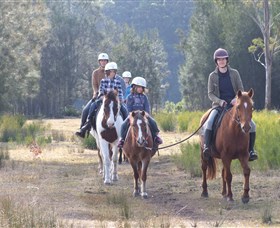
The Oaks Ranch and Country Club stables runs one and two hour guided trail rides (subject to demand) as well as pony rides for riders under the age of nine. Their trail rides are suitable for riders of all abilities and with no more than six riders at a time they can tailor the ride to suit your experience. Instruction on controlling and managing your horse is given before leaving the stables and a professional friendly guide will accompany you on the ride through the 300 acres of the Ranch, taking in some beautiful and diverse scenery. You will ride through bush, woodland and along the river banks, getting sandy or wet hooves depending on the tides.

Broulee Beach Logo and Images

Broulee Beach

Coronation Drive, Broulee NSW 2537

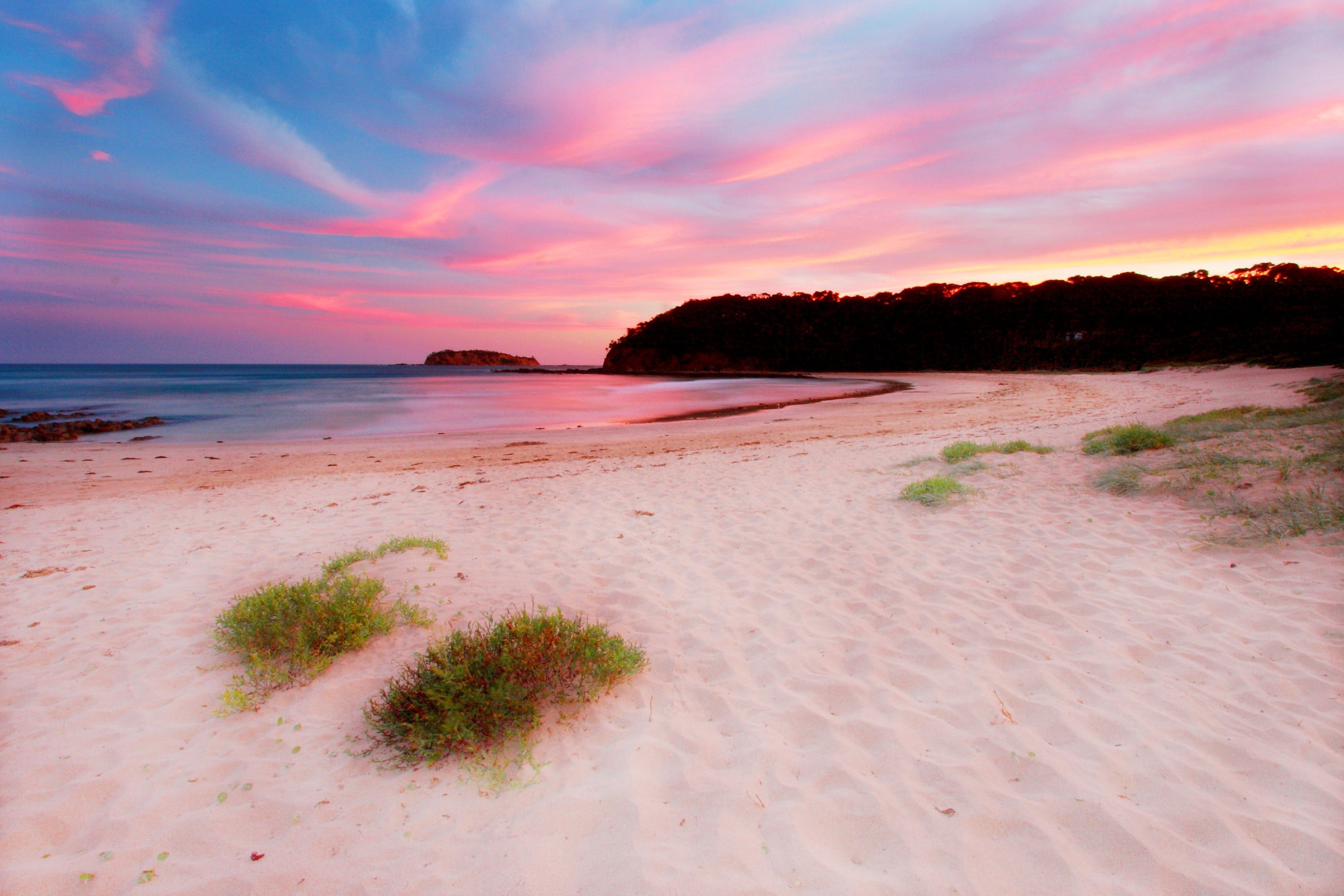
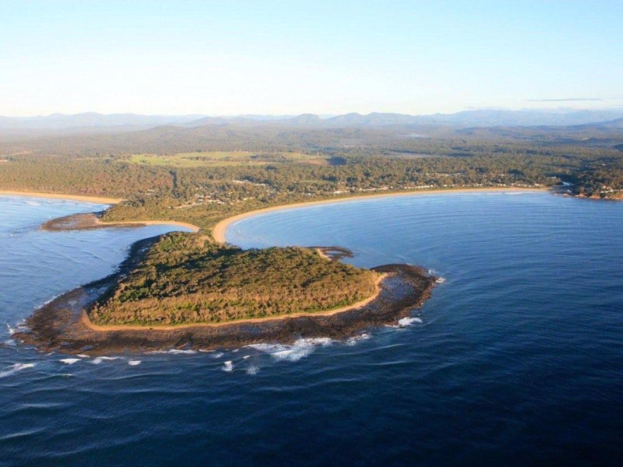
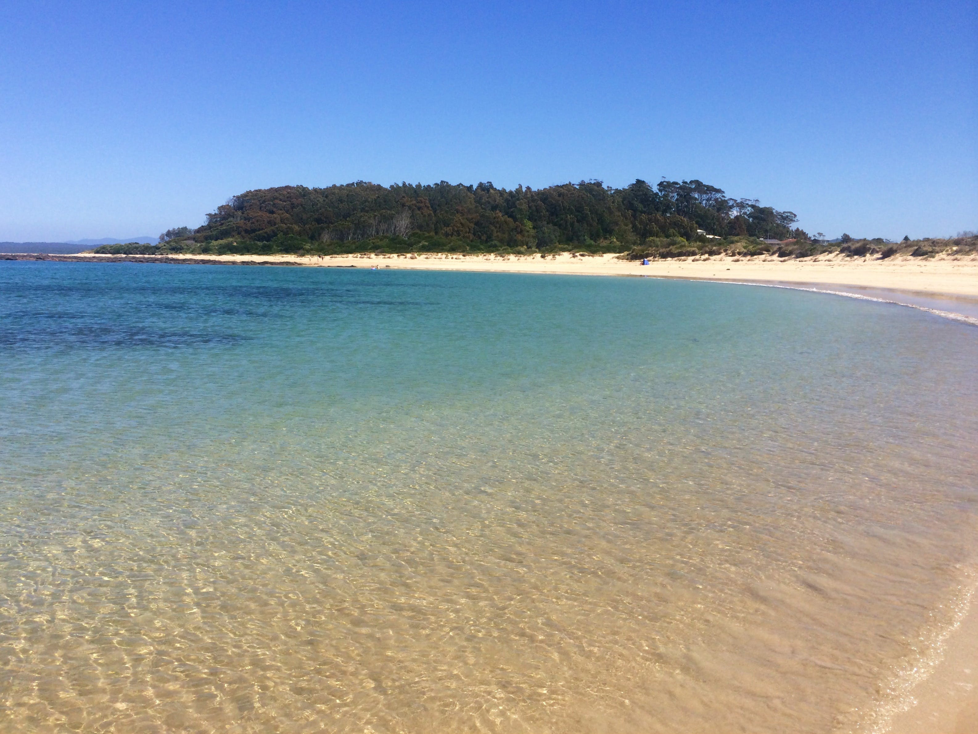
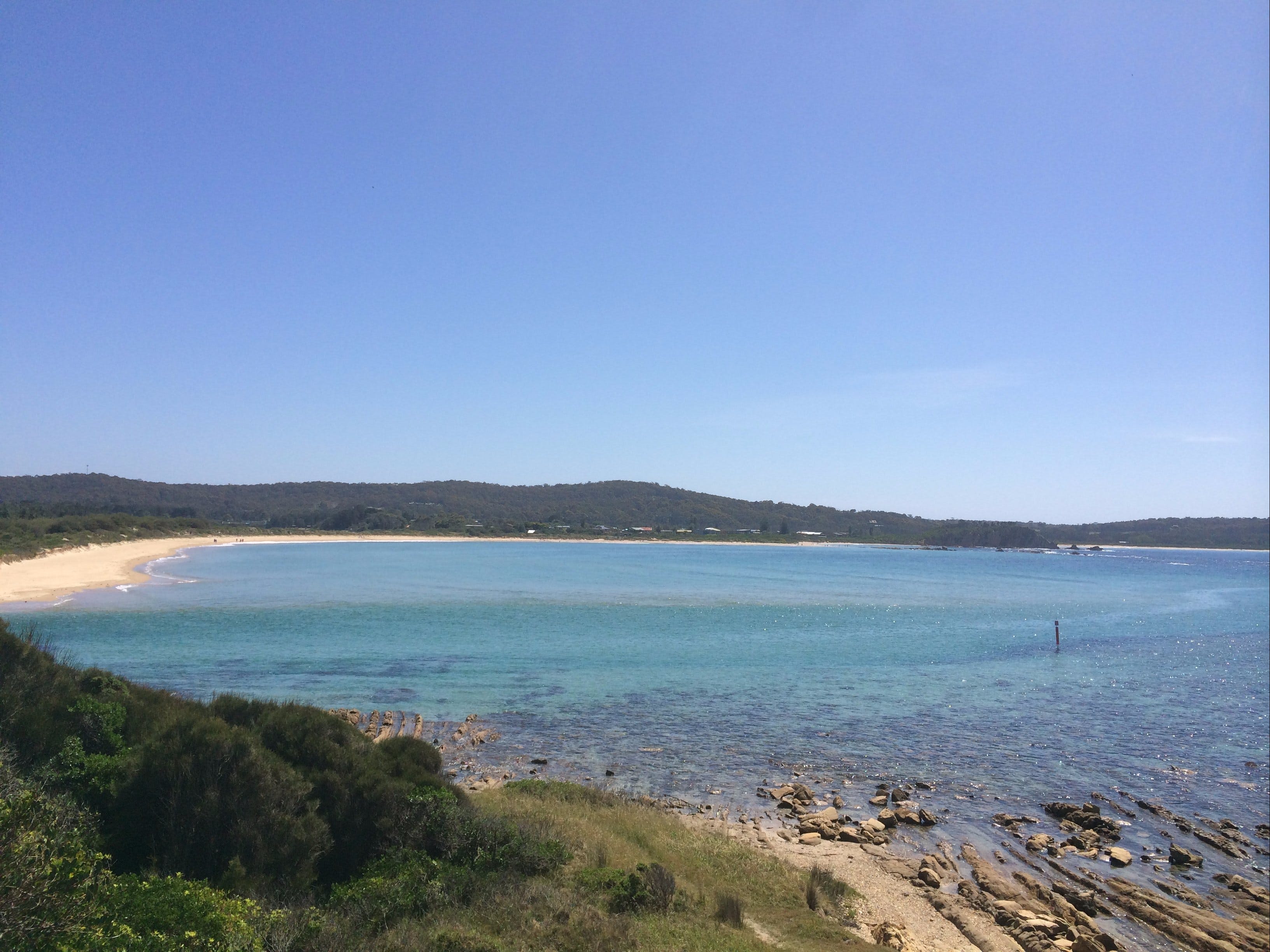
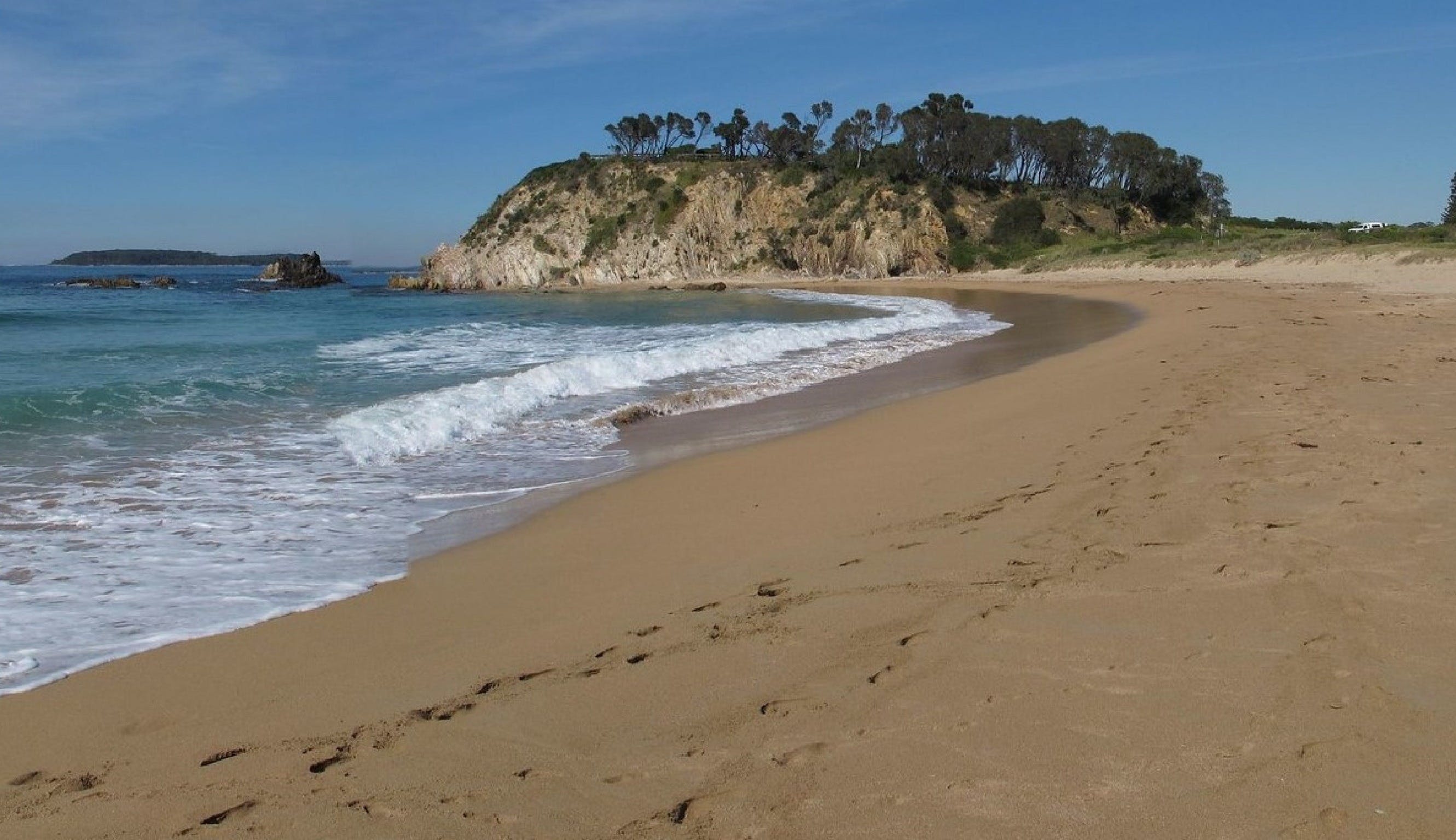
Situated 20 kilometres south of Batemans Bay, Broulee is a long sweeping beach protected by Broulee Island. This is a favourite beach with tourists, and is ideal for families. The fishing is great at Broulee, there's good diving and snorkelling in the area and the surfing is some of the best on the South Coast. Broulee Beach is well protected and the sand dips gradually, which makes it a family favourite. Explore Broulee Island, a nature reserve with outstanding views along the coast.

Elysium Wines Logo and Images

Elysium Wines

36 Margaret Drive, 'Bimbimbie Estate', Mogo NSW 2536

Elysium Wines' range of fruit wines, sparkling and dessert wines will tempt your palate and delight your senses. Featuring Australia's premier Native fruit wines and beverages in varieties such as Lillipilli, Plum Pine and Lemon Aspen, they produce modern Australian wines from hand-picked native and wild fruits. Their creative blends and distinct style are a result of over 10 years experience and experimentation making wine with native and exotic fruits. They'd love for you to visit their cellar door on the beautiful New South Wales south coast. Sample unique, locally made wines, all made and bottled on-site, low-preservative and vegan-friendly. Chat with the winemakers themselves - Lauren and James always enjoy talking about their handcrafted wines, and between them have a wealth of knowledge about native and indigenous plants. Elysium Wines' cellar door has disabled parking and ramp access for wheelchairs and prams.

Broulee Island Walk Logo and Images

Broulee Island Walk

Broulee Island, Broulee NSW 2537

The four kilometre Broulee Island Walk begins south of the main beach at Broulee, across a permanent sand bar. The walk features ocean vistas across pristine rock pools that photographers will love. It's also a great vantage point for whale watching over spring. Along the walk there is a brilliant display of native plants including coastal banksias, casuarinas, coastal wattles, westringias, red olive plum and lilli pilli. It's also a wonderful place for marine birdlife - including the outstanding fairy wren and white bellied sea eagle.

Cycle Mogo State Forest Logo and Images

Cycle Mogo State Forest

Maulbrooks Road, Mogo NSW 2536
Located in Mogo State Forest, this 14 kilometre forest track has routes ranging from beginners to the more experienced and adventurous. The track is a loop beginning and finishing at the trail head at the intersection of Maulbrooks and Dam Road, 5.2 kilometres west of the Princes Highway. Although the track is used by local cycle clubs, all are welcome to enjoy this scenic forest track. To access, turn into Maulbrooks Road just 2.5 kilometres south of the historic goldmining village of Mogo.
Wattlebark Gallery - Batemans Bay Arts and Crafts Society Logo and Images

Wattlebark Gallery - Batemans Bay Arts and Crafts Society

Unit 2/52 Sydney Street, Mogo NSW 2536
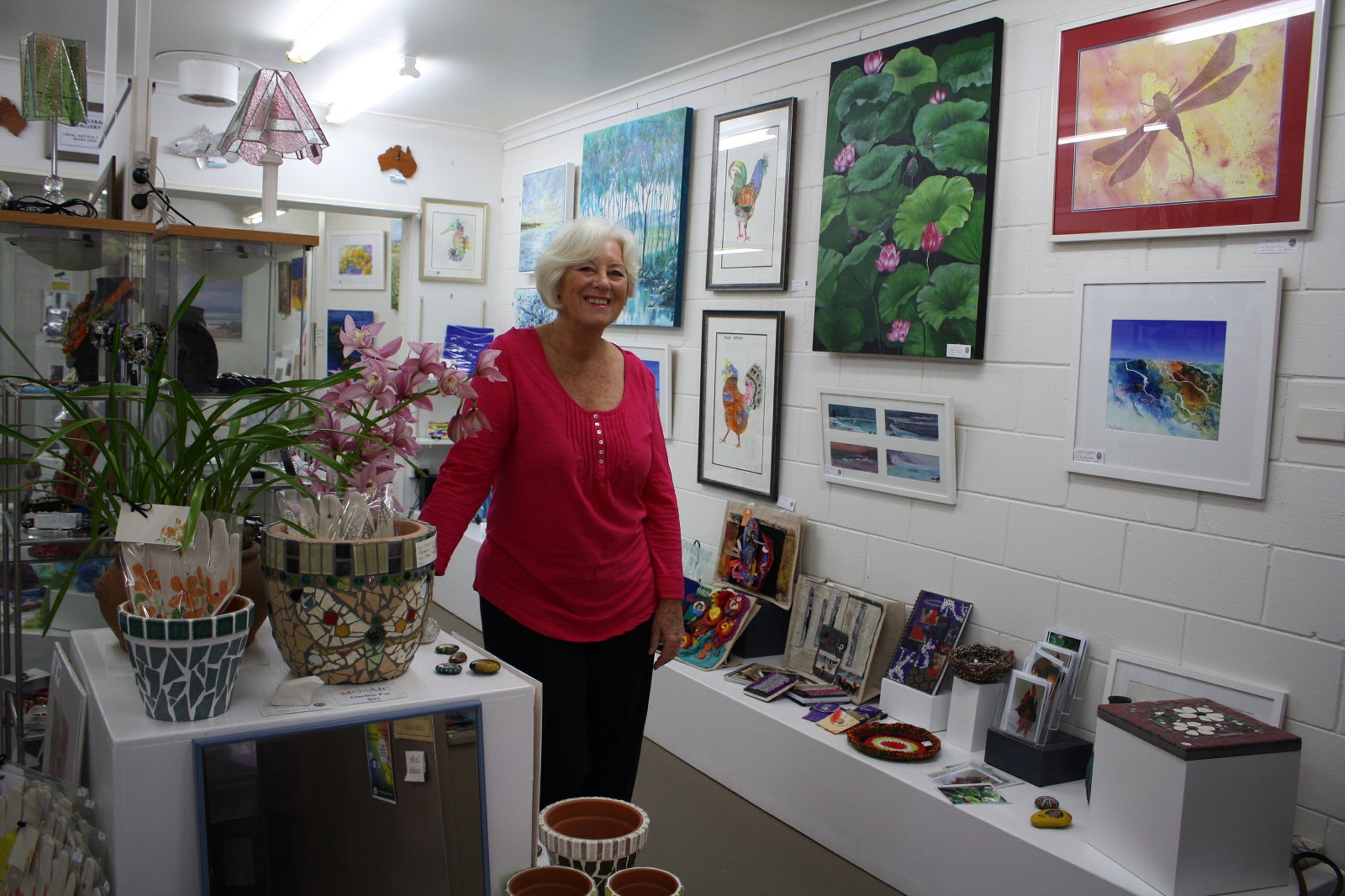
In 1999, Wattlebark Gallery was opened at Mogo where a rotating exhibition is on view daily. The Batemans Bay Arts and Crafts Society members work in various mediums, ranging from oils to watercolour, realism to abstract, seascape to landscape, still life to portraiture with something for everyone. Also on display is an amazing range of innovative craft items, all hand made by members. Batemans Bay Arts and Crafts Society promotes and encourages Arts and Crafts. It organises Exhibitions of Art and Craft and conducts workshops of instruction periodically. Exhibitions October, January and Easter. Contact Wattlebark Gallery for further details.
Mogo Bushwalk Logo and Images

Mogo Bushwalk

Tomakin Road, Corner of James Street, Mogo NSW 2536
Tucked in behind the historic town of Mogo, Mogo Bushwalk in the Mogo State Forest meanders through wet and dry eucalyptus forests. This walk provides a shady haven in summer and is suitable for all of the family. The forest features majestic spotted gums with an understorey of burrawang cycads. Swamp wallabies often dart through the bush and in autumn and early winter, male lyrebirds display their magnificent tail feathers. This walk cover a distance of of 1.6 kilometres and takes approximately 20 minutes return. It is rated as an easy grade with some steps. Access is from the eastern side of the Princes Highway at Mogo, via Tomakin Road then James Street.
Jack Buckley Memorial Park and Picnic Area - Tomakin Logo and Images

Jack Buckley Memorial Park and Picnic Area - Tomakin

Sun Patch Parade, Tomakin NSW 2537
Set on the banks of the spectacular Tomaga River in Tomakin, Jack Buckley Memorial Park is a must for all visitors. This park is the perfect place for a relaxing riverside picnic or fire up the barbecue as the kids burn off some of their energy on the playground. Toilet facilities available.
Broulee, North Head to Mossy Point Cycleway Logo and Images

Broulee, North Head to Mossy Point Cycleway

Heath Street, Broulee NSW 2537
Broulee, North Head to Mossy Point Cycleway is a great flat route with a mixture of shared pathway and on road riding. Park in Heath Street near the Surf Club to begin your journey but really, you can start at any point. Travel south along the back of the sand dunes of Bengello Beach, a renowned surf beach for professionals and locals. This is where you may encounter wildlife - kangaroos, echidnas, wallabies, or goannas. At the end is the airport, where you may like to enjoy some extreme adventure - skydiving! Turn around and head north passing the start point, continuing to Mossy Point; a great place to stop to enjoy much needed refreshments. Hit the trail for the final leg past popular Broulee Beach back to the beginning. You can enjoy a swim and, if you brought a camera, there is a great lookout near the carpark.
Shelly Beach Picnic Area - Moruya Heads Logo and Images

Shelly Beach Picnic Area - Moruya Heads

Elizabeth Street, Moruya Heads NSW 2537
Shelly Beach at Moruya Heads is a popular family recreational spot at the mouth of the Moruya River. At the eastern end of the beach you will find a picturesque picnic area just perfect for taking a break. Sit back and enjoy the views or take a refreshing swim or walk along the beach.
Moruya Heads lookout Logo and Images

Moruya Heads lookout

Elizabeth Street, Moruya Heads NSW 2537
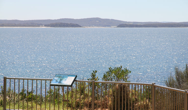
Moruya Heads lookout offers superb coastal views taking in the scenic mouth of Moruya River. In spring, bring your binoculars for whale watching as these gentle giants migrate south back towards the Southern Ocean for another summer of feeding on krill. Enjoy a picnic with friends and family in this beautiful part of Eurobodalla National Park. Keep a lookout ... Visit website for more info

Broulee Island Walk

Broulee Island, Broulee NSW 2537
The four kilometre Broulee Island Walk begins south of the main beach at Broulee, across a permanent sand bar. The walk features ocean vistas across pristine rock pools that photographers will love. It's also a great vantage point for whale watching over spring. Along the walk there is a brilliant display of native plants including coastal banksias, casuarinas, coastal wattles, westringias, red olive plum and lilli pilli. It's also a wonderful place for marine birdlife - including the outstanding fairy wren and white bellied sea eagle. ...
Broulee Surf School Logo and Images

Broulee Surf School

7/77 Coronation Drive, Broulee NSW 2537
Broulee Surf School is the original NSW South Coast Surf School, a family owned business established in 1996. For over 18 years they have delivered a high standard of surfing instruction at the safest beaches in the pristine Eurobodalla Shire. They are licensed and insured by Surfing Australia, and all staff are fully qualified, experienced coaches with senior first aid and surf rescue certificates. The priority is to provide a fun and enjoyable learn to surf experience with a focus on ocean awareness and surf safety. Group and Private lessons are available all year round for all ages and fitness levels - five years and above. All equipment is provided including soft surfboards and full length wetsuits. Stand Up Paddle Tours on Flatwater and SUP Surf Lessons are also available. The best surfer is the one having the most fun!...

Art on the Path

Smith Street, Broulee NSW 2537
Art on the Path is a community run market in the town of Broulee on the NSW South Coast. It is a Dunecare sponsored activity promoting sustainability. Stalls can only sell locally-made art and craft. The event showcases Landcare works, the Eurobodalla Regional Botanic Gardens, Eurobodalla Shire Council Natural Resource team, local Students environmental and recycled projects, local artists use of recycled produce and environmental community groups like the Nature Coast Marine Group, Australian Seabird Rescue and Broulee Community Association. Art on the Path is held four times a year on the shared cycleway near the corner of Smith Street and Grant Street, Broulee....

Longridge Farm

462 Dunns Creek Road, Malua Bay NSW 2536
Longridge Farm is a 25 acre Highland Pony Stud with rolling pastures and beautiful fern valleys. Relax in the spa bath built for two, take a seat on the wide verandas and enjoy the uninterrupted rural views or snuggle up in front of the wood fireplace in winter. Enjoy spacious country style surroundings only a few minutes' drive from the beach in a great three bedroom country home. Whether you want a family holiday or you're a couple looking for that intimate getaway, Longridge Farm has everything you need....
Mossy Point Logo and Images

Mossy Point

Boat Ramp, Mossy Point NSW 2537
Mossy point is a quiet little haven often overlooked by visitors. Situated between the Tomaga River to the north, and Candlagan Creek to the south, Mossy Point is perfect for all things aquatic. Tomaga River is a lovely clear river, dotted with rustic timber jetties. You will find easy boat access to the river at the Tomaga River boat ramp, along with the Mossy Point Boatshed where you can hire kayaks, SUPS and bikes, or sit with a coffee and watch the sting rays glide by. Candlagan Creek is a picturesque tidal creek that is fabulous for families to have a splash. Be careful not to swim near the rocks as the oyster shells are very sharp. After a hard day of swimming and paddling, be sure to grab a bite to eat from The Mossy Café. The Mossy Café is also home to innovative local coffee roasters, who change their blends regularly....
The Original Gold Rush Colony Logo and Images

The Original Gold Rush Colony

26 James Street, Mogo NSW 2536
Sadly, The Original Gold Rush Colony was damaged by a bushfire in December, 2019 and is currently closed. The Colony (formerly Old Mogo Town) is a re-created 1850s gold rush town and theme park. This award-winning New South Wales South Coast tourism attraction is an educational, historical and cultural venue. Informative tour guides retrace the story of life during the 1850s Gold Rush, including the adventures of Australia's 'bloodiest' bushrangers, the Clarke Gang. See the working Stamp Battery, explore the Gold Mine, mining town buildings, and pan for your own real gold. Assisted wheelchair access to most exhibits. Picnic areas beside peaceful lakes and gardens. Run the Eureka themed Mogo Maze, fun for everyone. School and group excursions are a speciality, with a range of activities to stimulate and educate through participation, known as 'Hands on History'. On-site accommodation, full catering and functions available. Surrounded by Mogo State Forest. ...
McKenzies Beach Logo and Images

McKenzies Beach

George Bass Drive, Malua Bay NSW 2536
McKenzies Beach is a small, beautiful, undeveloped beach, popular with locals and visitors alike. It is a great spot for surfing or body boarding and snorkelling when the conditions allow. McKenzies Beach is located 14 kilometres South of Batemans Bay. Watch for the turn off from George Bass Drive as it is not signposted. Access to the beach is via a carpark next to the beach and there are no amenities....
Broulee Logo and Images

Broulee

39785 - Broulee NSW 2537
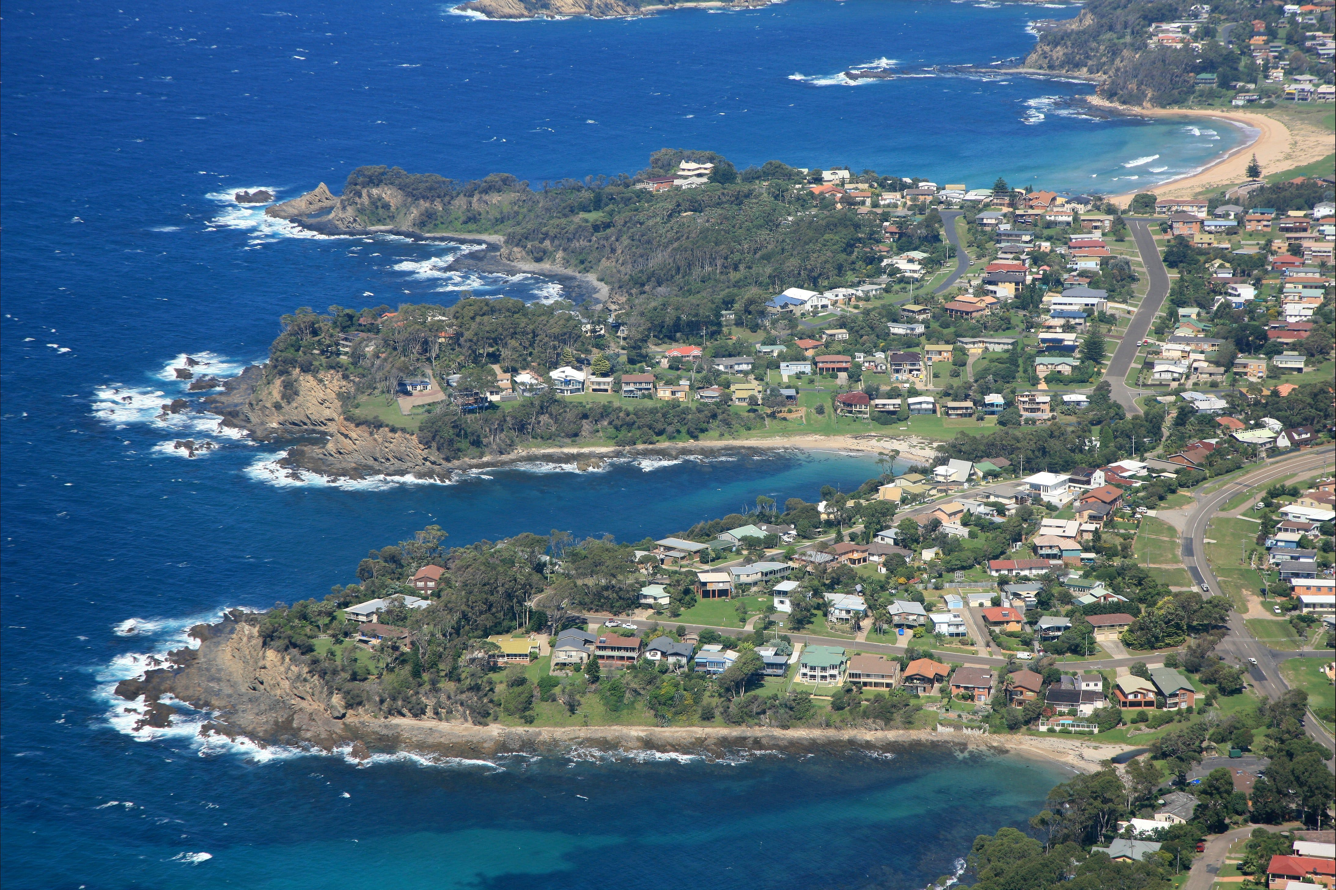
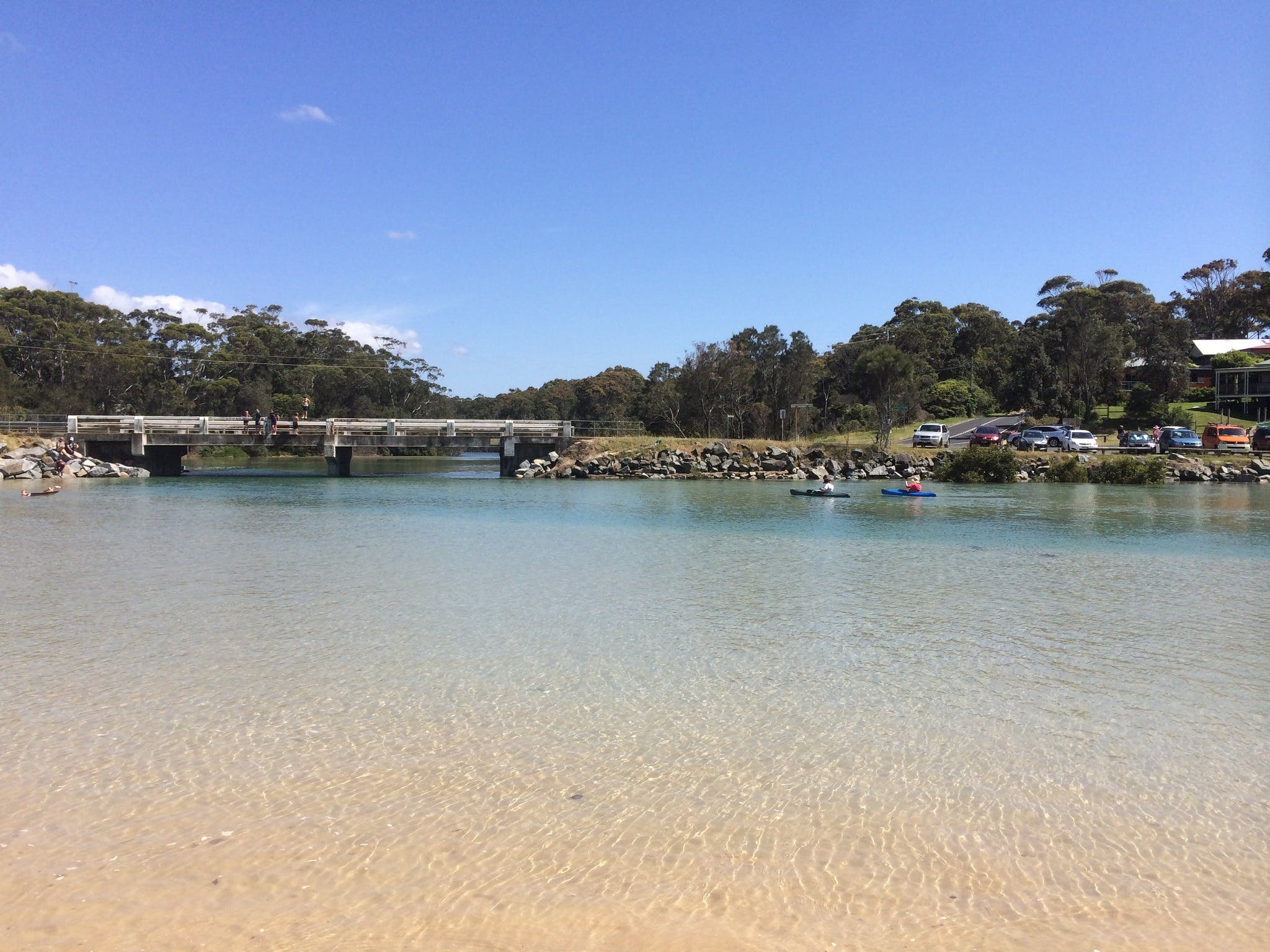
Broulee is the quintessential Aussie seaside holiday town, surrounded by crystal clear waters, great surf and wide stretches of sandy beach. Kids on bikes, beach towels on decks, surfboards on roof racks; it’s a barefoot easiness that doesn’t take long to settle into. Broulee has a true surf culture, with beaches to suit every level of experience. North Broulee is one of the best learn-to-surf beaches in Australia, with a sheltered position and flat sandy bottom. South Broulee is considered more challenging, with a break suited to intermediate and advanced level surfers. More adventurous surfers should head to Pink Rocks on the northern side of Broulee Island, where the right hander is known to have some monster days. The lookout at Broulee Headland is a good place to orientate yourself and get a taste of the Broulee lifestyle, with wide views of the town, coast and hinterland. The broad rock platform at the base of the headland is safe to explore and the closest you will get to the migrating humpbacks without a boat. Following the platform around leads to a quiet sheltered beach and the sand-spit connecting to Broulee Island Nature Reserve. The island holds many secrets, including the ruins of a hotel and sea port railway. Now reclaimed by native bush and birds, the walk takes you through a magnificent and dynamic coastal landscape. Heading toward Mossy Point on the beach road, you will find Candlagan Creek. As unassuming as it is stunning, the small sandy creek forms a crystal-clear swimming hole just as it reaches the beach, ideal for anyone wanting flat calm water to relax in. The sandy bottom makes it perfect for wading, and kids get a kick out of adventuring under the small road bridge that crosses it. It’s easy understand why Broulee is such a popular place to spend quality time. A genuine and relaxed beach town, in the middle of all Eurobodalla has to offer....
Garden Bay Picnic Area - Lilli Pilli Logo and Images

Garden Bay Picnic Area - Lilli Pilli

Yugura Street, Malua Bay NSW 2536
This charming picnic area is located in the picturesque Garden Bay at Lilli Pilli, just ten minutes south of Batemans Bay. Situated right on the water with stunning views over the ocean this is a popular haven for many to escape and enjoy the beauty of the unspoilt Eurobodalla coast. There are no toilet facilities, however there is a picnic shelter and play equipment for the kids....
The Gallery: Art and Craft Logo and Images

The Gallery: Art and Craft

52 Sydney Street, Mogo NSW 2536
The Gallery, located at the southern end of Mogo Village is open daily from 10am to 4pm except Christmas Day. All artwork on display is by local artisans from Creative Arts Batemans Bay. Paintings in various mediums including watercolour, acrylic, oil, pastel, mixed media along with craft, jewellery, wood turning, sculpture and cards are all for sale. Members organise three art exhibitions per year along with conducting various workshops. Contact The Gallery for further details on the number provided. ...
Broulee Island Nature Reserve Walk Logo and Images

Broulee Island Nature Reserve Walk

Island, Broulee NSW 2537
Broulee Island is joined to the mainland by a permanent sandbar and is always accessible. Find it at the southern end of North Broulee Beach or park at Broulee Surf Club and head north around the rocks to Shark Bay, where a short beach walk leads you to the island. Photographers will enjoy the ocean vistas across pristine rock pools. The walk features native plants and is known for birdlife, including the superb fairy wren and white-bellied sea eagle. Length: 3.5 kilometres return Time: one hour, two hours including the beach walk Grade: Moderate Start: Walk north from Broulee Surf Club, or south along North Broulee Beach...
Snorkelling Broulee Island Logo and Images

Snorkelling Broulee Island

Harbour Drive, Broulee NSW 2537
How to get there: To get to Broulee Island follow the signs from George Bass Drive, turn on to Broulee Road which becomes Grant Street. Turn right onto Heath Street, left onto Bayside Street and finally right onto Harbour Drive, where you'll find a carpark at the end. Broulee Island is regarded as one of the best snorkelling spots along the Eurobodalla coastline. Two areas on the island are sought by snokellers - one is at the bay near Pink Rocks which is the north eastern point of the island. The bay is about two to four metres deep and is protected in terms of swell. It's home to seagrass meadows, with stingrays and banjo sharks sometimes seen. It's fine for beginners in the right conditions, as is the southern side of the island which is also protected in terms of swell. The southern side is an extremely productive area, with different habitats around the reef system such as sand flats, big reef walls and shallow reefs, all combining to make it a superb spot for snorkelling. You may be lucky enough to spot a green turtle, or the endangered weedy sea dragon and eastern blue devil fish....
Snorkelling Candlagan Creek Logo and Images

Snorkelling Candlagan Creek

Candlagan Creek, Broulee NSW 2537
How to get there: To get to Candlagan Creek, turn off the Princes Highway at Mogo onto Tomakin Road. Follow Tomakin Road until George Bass Drive, and turn right. Shortly after the Tomago River bridge, turn left onto Annetts Parade. Follow Annetts Parade through Mossy Point until it turns onto Beach Road. You'll see a small carpark on the left just before you cross the bridge over Candlagan Creek. Candlagan Creek, Mossy Point is a favourite spot for children and families in the Eurobodalla, and plays an important part in the marine ecosystem with juvenile fish hidden amongst the seagrass beds and mangroves. Candlagan Creek is an estuary that extends from the northern end of Broulee Beach to approximately five kilometres inland. At its mouth Candlagan Creek is quite shallow an sheltered from adverse ocean conditions by a wide sandbar. On its northern edge there is a grassy bank with shady trees and picnic tables. Be aware that the current can be very strong where the creek meets the sea, especially on an outgoing tide, while sharp oysters attached to the rocks can be hazardous to feet....
Tomakin Logo and Images

Tomakin

41896 - Tomakin NSW 2537
Tomakin sits on one of the most stunning little patches of coast in New South Wales. Head to Melville Point Lookout for sweeping views in either direction and to help decide where to go next. To the north are the wide soft sands of Barlings Beach, which curves gently up the coast to Barlings Island. This small rocky island protects the far end of the beach, creating an idyllic place to swim, picnic and snorkel. At the bottom of the lookout to the south is Tomakin Cove, one of the prettiest little beaches anywhere. Sheltered on both sides, the water here is calm and almost always crystal clear. It’s a fantastic spot to swim and snorkel. The cove leads on to the larger Tomaga River Beach, which runs to the mouth of the Tomaga River. The entire area is flanked by stunning rocky outcrops which change colour as the sun moves across the sky, and sit in deep contrast to the clear blues of the surrounding water. The wooden jetties of Mossy Point project temptingly across the river, and often call the more adventurous for a quick swim across. Tomaga River itself is sandy-banked, clean and inviting. Towards its mouth the running tide carves small drop-offs, ideal for jumping from the banks into the water (check the depth first). At low tide, thousands of soldier crabs can be found feeding along the wide sandy flats. From its opening into the sea, the river curls back behind the beaches making an interesting and scenic walk. Pelicans and large stingrays are often around the ramp, and the river shore in this area is a popular place to swim and fish. Tomakin doesn’t have a shopping strip; however, the Rivermouth General Store (café) is within walking distance of the beaches and has a great surf vibe. There is an IGA supermarket & bottle shop on George Bass Drive. Dining options include JJ’s at The Moorings, which has a relaxed eclectic feel, and The Tomakin Sports and Social Club. Both of these offer entertainment and dining events, particularly during holidays....
Malua Bay Beach Logo and Images

Malua Bay Beach

George Bass Drive, Malua Bay NSW 2536
With good reason, Malua Bay Beach is one of the most popular beaches in the area. The beach is perfectly situated beside a large grassy reserve which is complete with picnic tables, barbecues, and kids play equipment. Toilet and shower facilities are available. Malua Bay Beach is patrolled during Summer....
Melville Point Lookout Logo and Images

Melville Point Lookout

Melville Point, Tomakin NSW 2537
Melville Point, also known as “Burying Point” and “Gravehead” due to the early settler cemetery there, has beautiful sweeping views over Barlings Beach, Mossy Point and Broulee Island. It is a great vantage point to view whales in season. The point and its adjoining intertidal rock platform are on the Register of the National Estate as an important geological site....
Around Art Studio/Gallery Logo and Images

Around Art Studio/Gallery

582 The Ridge Road, Malua Bay NSW 2536
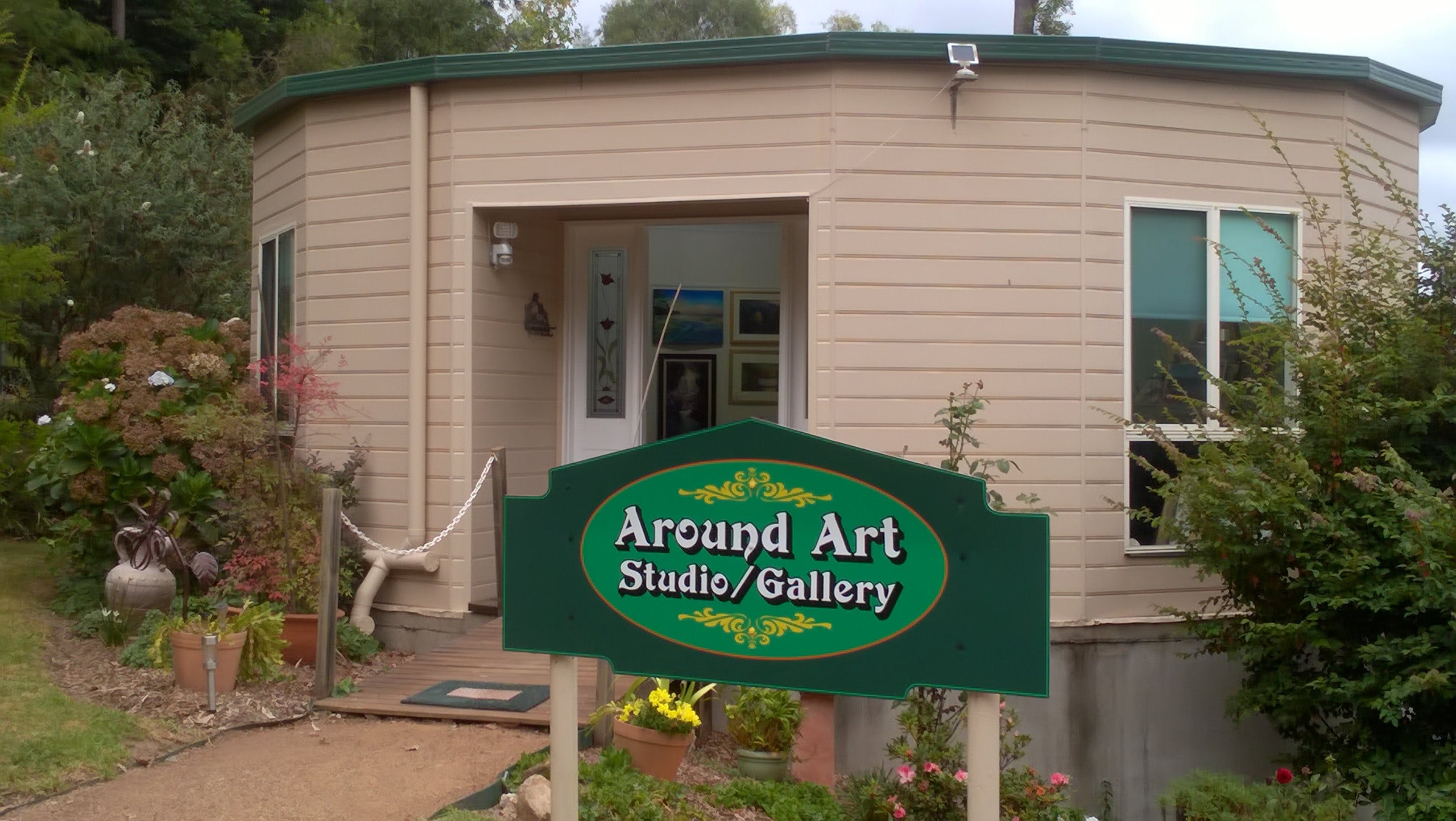
An Eclectic Collection of Art by Margaret Allen Margaret works with all art mediums, and her versatile approach allows her to cover a variety of styles from the traditional to the abstract. Her works are predominantly the Australian Landscape and Seascapes, but also include still life and portraits. The Studio is set in five acres of beautiful gardens. Open by appointment, or when sign is displayed ...
Broulee Heritage Area Logo and Images

Broulee Heritage Area

44408 - Broulee NSW 2537
Broulee was the region's first port. In the 1830's, settlers around the district would load and unload from ships anchored in Broulee Bay because a sandbar blocked the entrance to the Moruya River. Broulee was surveyed and gazetted in 1837 and by mid-1841 a brisk sea trade had developed with Sydney. It was also a depot for Jervis Bay's whaling fleet. It had six buildings and the 46 residents were mostly convicts employed by the local landowner Captain William Oldrey. The port was also the centre for the court and police districts stretching from the Jervis Bay to Eden. After a flood scoured out the bar at Moruya River in 1841, Moruya became the preferred port. The court and hotel were relocated to Moruya in the 1850's and Broulee was abandoned. Holidaymakers discovered Broulee in the 1920's What to do: Visit the memorial to the settlers and aborigines who rescued people from the wreck of the schooner Rover in 1841. It is in the park on Candlagan Creek' northern bank. Walk around Broulee Island, a nature reserve since 1964, and see the site of the 1840-41 Erin-Go-Bragh Hotel and an interesting 1842 grave. ...
Kayaking Tomaga River Logo and Images

Kayaking Tomaga River

Boat Ramp, Mossy Point NSW 2537
A clean, clear river with options for short paddles or a 22 kilometre return trip from Mossy Point to the end of Mogo Creek. Take the eastern tributary at the junction of Jeremadra and Mogo Creeks for this route. The junction is seven kilometres from Mossy Point. Parts of the river are shallow above oyster leases and there is a strong tide near the mouth, so stay in the shallows when paddling against the tide. Launch into shallow water near the boat tamp at Annetts Parade but note that this is directly into the river's tidal current. Novices could use the boat ramp at Kingston Place, Tomakin to avoid strong tides near the river mouth. Toilets are near the boat ramps at both Mossy Point and Tomakin....
Shelly Beach Picnic Area - Moruya Heads Logo and Images

Shelly Beach Picnic Area - Moruya Heads

Elizabeth Street, Moruya Heads NSW 2537
Shelly Beach at Moruya Heads is a popular family recreational spot at the mouth of the Moruya River. At the eastern end of the beach you will find a picturesque picnic area just perfect for taking a break. Sit back and enjoy the views or take a refreshing swim or walk along the beach....
Cycle Mogo State Forest Logo and Images

Cycle Mogo State Forest

Maulbrooks Road, Mogo NSW 2536
Located in Mogo State Forest, this 14 kilometre forest track has routes ranging from beginners to the more experienced and adventurous. The track is a loop beginning and finishing at the trail head at the intersection of Maulbrooks and Dam Road, 5.2 kilometres west of the Princes Highway. Although the track is used by local cycle clubs, all are welcome to enjoy this scenic forest track. To access, turn into Maulbrooks Road just 2.5 kilometres south of the historic goldmining village of Mogo. ...
Jack Buckley Memorial Park and Picnic Area - Tomakin Logo and Images

Jack Buckley Memorial Park and Picnic Area - Tomakin

Sun Patch Parade, Tomakin NSW 2537
Set on the banks of the spectacular Tomaga River in Tomakin, Jack Buckley Memorial Park is a must for all visitors. This park is the perfect place for a relaxing riverside picnic or fire up the barbecue as the kids burn off some of their energy on the playground. Toilet facilities available. ...
Ken Taber Art Studio and Open Garden Logo and Images

Ken Taber Art Studio and Open Garden

123 Maulbrooks Road, Mogo NSW 2536
Ken Taber is a self-taught artist who paints in both acrylics and oils. His preferred subjects are usually water scenes, misty swamps, tidal backwaters, beach scenes, and his later work, semi-abstract acrylics of water birds in their environment. Ken has now been painting since 1968 and has had many one man and joint exhibitions. His paintings are hung in collections around the world. Ken now resides on the New South Wales south coast near Batemans Bay. His house and studio gallery is situated on a five acre block amidst a beautiful sub-tropical water garden. The gallery is open by appointment. Please contact them to arrange a time. ...
Snorkelling McKenzies Beach Logo and Images

Snorkelling McKenzies Beach

McKenzies Beach, Malua Bay NSW 2536
How to get there: Drive south from Batemans Bay, to the end of Beach Road and then left onto George bass Drive. Just past Malua Bay, watch out for a turnoff on the left into a small carpark. McKenzies Beach is a small, beautiful, undeveloped beach which should only be tackled by more experienced snorkellers. Enclosed by two headlands with rocks that ease down to greet the ocean and form natural reefs, conditions must be perfect if you're entering the water to snorkel. The beach is known for its rugged surf and is open to the swell, which can impact on visibility. Places to explore for experienced and fit snorkelling enthusiasts include the ampitheatre around the rocks at the southern end of the beach. Enter the water round the corner facing Jimmy's Island - water depth is from five to eight metres deep. The ampitheatre is a special world of its own with spectacular rock formations and marine life such as baby cuttle fish. At the northern end of the beach, the wave and current movements have led to an exposed long reef to explore - the reef system is shallower and, in a nor-easter, is well protected....
Moruya Heads lookout Logo and Images

Moruya Heads lookout

Elizabeth Street, Moruya Heads NSW 2537
Moruya Heads lookout offers superb coastal views taking in the scenic mouth of Moruya River. In spring, bring your binoculars for whale watching as these gentle giants migrate south back towards the Southern Ocean for another summer of feeding on krill. Enjoy a picnic with friends and family in this beautiful part of Eurobodalla National Park. Keep a lookout on the beach as there are plenty of birdwatching opportunities, with the endangered little tern and hooded plover calling the area home. Come spring, Moruya Heads is enlivened with wildflowers, including coastal wattle, banksia and pittosporum for you to feast your eyes on. And, with beaches nearby, you can also seize hotter days with swimming, surfing or a bout of fishing. Close to Moruya Heads lookout is historic Moruya Heads cemetery, where 20 burials are on record and some headstones remain visible. The earliest recorded burial is from 23 August 1858 – a reminder of early European heritage in the area....